The history of Mississauga's Stavebank Road
/Modern Mississauga and Heritage Mississauga have come together to present an ongoing series called “Way Back Wednesday.” We’ll share information about the history of Mississauga here and answer your questions.
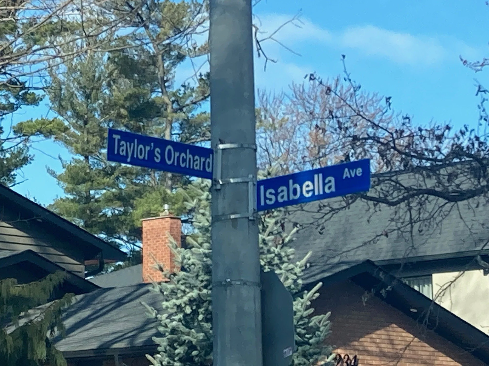
Today’s topic is the history of Mississauga's Stavebank Road.

Stavebank Road, looking south, Port Credit bandstand, c1920.
Stavebank Road is an old route of travel in our city. One of the earliest actually. The road is a Given Road – that is a route of transportation that does not conform to the survey. The route, in its original form, connected Port Credit to Dundas Street (Dundas was surveyed in 1796 and is our oldest surveyed route). Stavebank generally followed the course of the Credit River, perched on the high ground overlooking the flood plain of the Credit River Valley, stretched along the east bank of the valley. It had several routes over time, which changed gradually. Old Carriage Road (formerly known as Carriage Road) was once part of the route, as were former roads known as “Lot Street”, “Brook Street”, and “Bridge Road”, amongst others. Over time a singular route was established and, by the 1860s, was known as “Stave Bank Road” or “Stavebank Road”. So where does the name come from, you might wonder?

Western Hotel, Stavebank Road, Port Credit.
Farmers living along the Credit River Valley were industrious, and harvesting timber was but another source of income. When the land along the valley was opened up for settlement in the late 1840s, farmers could make extra money through the cutting and selling of staves – which are rough cut wooden planks or posts. Staves would be harvested in the winter months, and dragged by horse or oxen to the frozen banks of the Credit River, where they were bundled and stacked. In the spring, stave cullers rafted the staves down the river to the harbour, where they would be loaded onto sailing boats to taken to harbours around the lake to be sold as building material. The road gets its name from the piles of staves that would stack up in the winter months along the east and west banks. One can imagine that the name for the road was in use long before it was formally adopted.